A swirling column of wind twisted briefly above the Brisbane River, capturing the attention of onlookers and weather watchers as a violent storm swept across the city. What many believed was a “mini tornado” turned out to be a small but complex weather event. It sparked debate among meteorologists and highlighted the power and unpredictability of Queensland’s storm season.
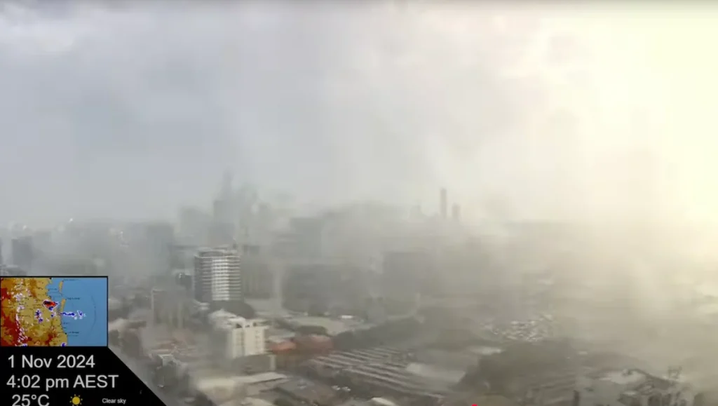
The dramatic scene unfolded on 1 November 2024, around 4:00 p.m., when a powerful supercell thunderstorm moved across South East Queensland, unleashing hailstones up to seven centimetres wide, uprooting trees, and injuring at least one person.

Amid intense rain and strong winds, a vortex appeared over the river near Kangaroo Point, twisting above the water as cameras captured the spectacle from multiple vantage points.
Storm Over Brisbane: A Violent Afternoon
The weather system responsible for the event was fuelled by a moist and unstable airmass, combined with a southeasterly wind change pushing up the coast. This created the conditions for a supercell thunderstorm, a type of storm with a rotating core that can generate some of the most severe weather in Australia.


By the time it reached Brisbane, the system had already produced 99 millimetres of rain in Cooroy in just 24 hours and caused damage across parts of the southeast.

As it swept into the city, strong winds felled trees and scattered debris. A man was injured when a falling tree struck him near the riverfront. Yet it was the swirling column of air over the Brisbane River that captured the city’s attention, prompting debate over what exactly had formed above the water.
Gustnado or Tornado? The Debate
While many observers initially believed they had witnessed a tornado, meteorologists at the Bureau of Meteorology (BoM) concluded that the feature was most likely a gustnado, or a short-lived whirlwind generated by turbulent winds along the gust front of a thunderstorm.


According to BoM meteorologist Angus Hines, tornadoes develop when rotation inside the storm extends downward from the cloud base. At the same time, gustnados originate near the ground and are not directly connected to the storm’s main updraft. They tend to be brief and weaker than tornadoes but can still cause localised damage, as seen at Kangaroo Point.
However, some weather enthusiasts analysing footage of the event questioned whether it might have been a weak, anticyclonic tornado — a rare type that spins in the opposite direction to most Southern Hemisphere storms. They pointed to signs of rotation within the cloud base. They noted that the vortex appeared to form behind the rear flank downdraft (RFD) gust front, where tornadoes often develop, rather than on the leading edge, where gustnados typically occur.
Further complicating the picture was the storm’s structure. The supercell’s core rotated cyclonically (clockwise), but the vortex spun anticlockwise. This rotation pattern aligns with gustnado dynamics but has also been documented in rare tornado cases. Research from the NOAA confirms that anticyclonic vortices can occur in cyclonically rotating supercells, though they are uncommon.
A Reminder of Queensland’s Storm Season
Whether gustnado or rare tornado, the Brisbane River vortex underscored the volatility of Queensland’s storm season and the need for awareness as the region moves deeper into spring and summer. Gustnados, while typically less intense than tornadoes, can form suddenly and without warning, posing risks to people and property.
Although Queensland is better known for tropical cyclones, supercell thunderstorms, and the dramatic phenomena they sometimes produce, are not unusual in the region.
Residents who saw the swirling column above the river said this was a striking reminder of nature’s power. Lasting only moments, it nevertheless became part of the city’s shared memory — a fleeting event that left scientists, storm chasers, and the community alike talking long after the skies had cleared.
Published 13-Oct-2025